DRONE MAPPING - DIGITAL TERRAIN MODELS
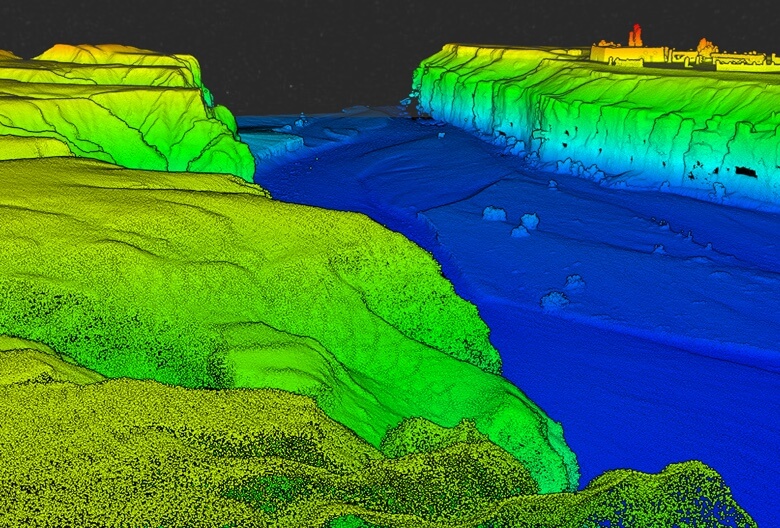
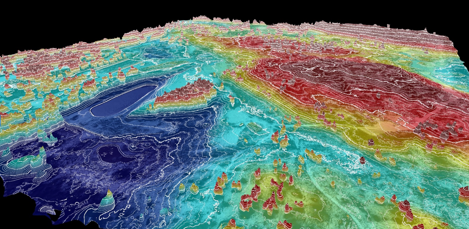
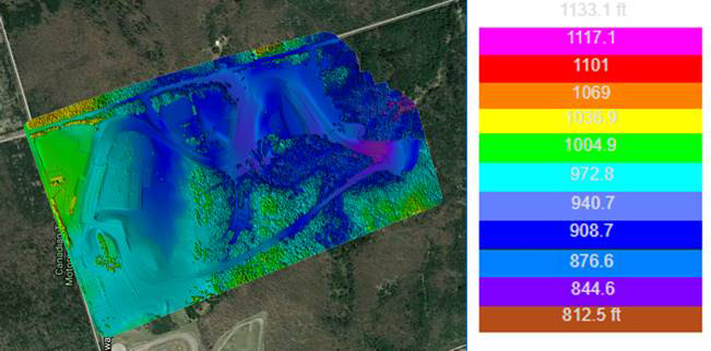
We will work with you to collect the terrain information from the ground and from the sky with drone mapping to create accurate digital terrain models (DTM), digital elevation models (DEM) and photogrammetric maps of your property using unmanned aerial vehicles (UAV) to capture the surface data from above.
The unmanned aerial vehicle (drone) will fly a pre-programmed flight path of your property to capture data with the onboard sensors. This data can be combined with a ground survey using equipment such as an RTK enabled GNSS system to generate ground control points which which will be included in the post-production workflow to ensure that the positioning is accurate.
Through post-processing of the data with the ground control points we can achieve sub-centimeter RMSE in our imagery and consistent sample distance of 2 CM or less.
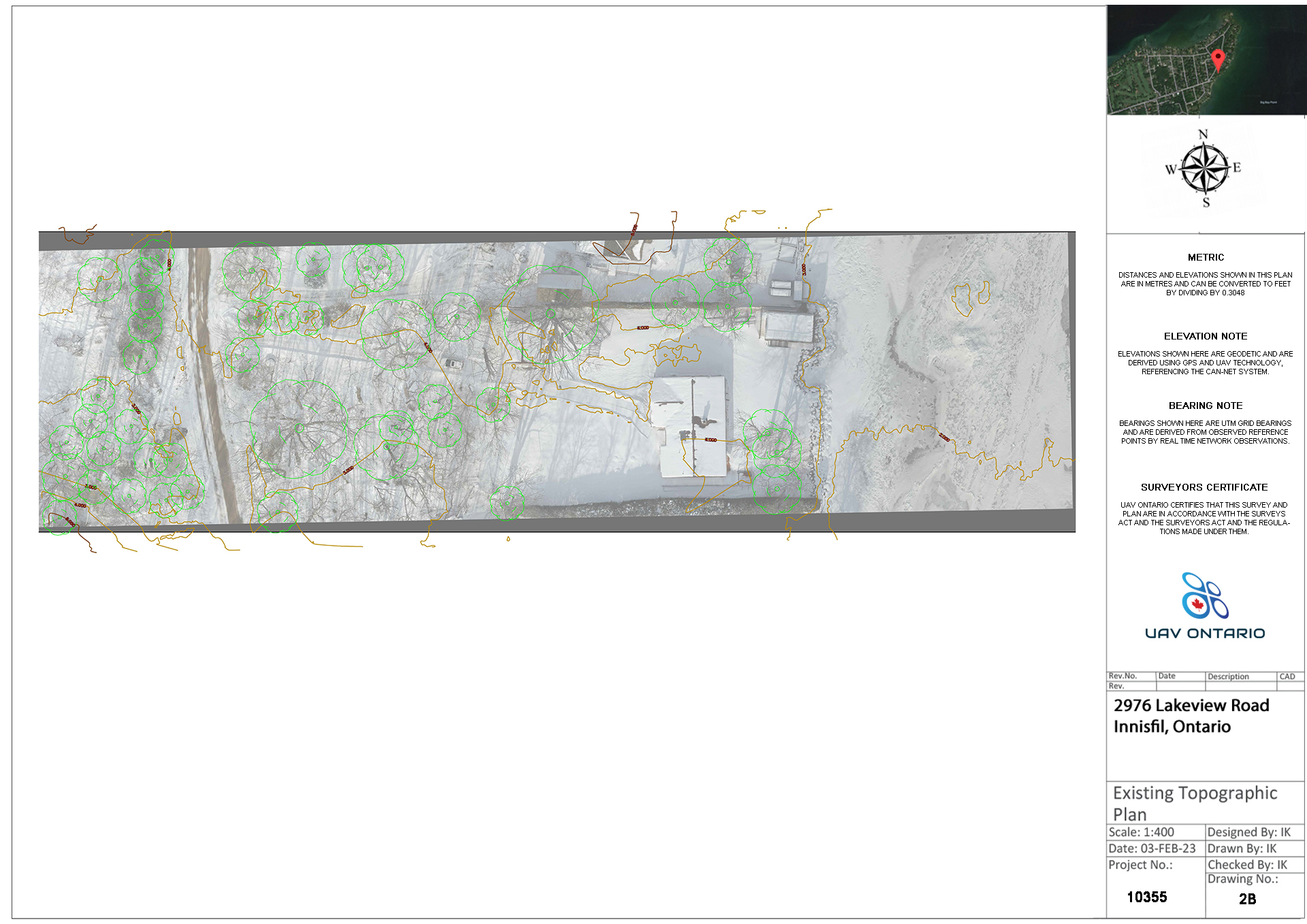
Topographic surveys can also be produced as shown in the example. These surveys will include the surface contours which can be superimposed on the orthomosaic map of the property. This can be used to identify key elevation changes, tree canopy, tree inventory, existing structures/fences and more.
Once processed we will output the surface data in a variety of formats depending on your target application and which software you are using i.e. AutoCAD, ARCGIS, QGIS, Google Earth etc.


